

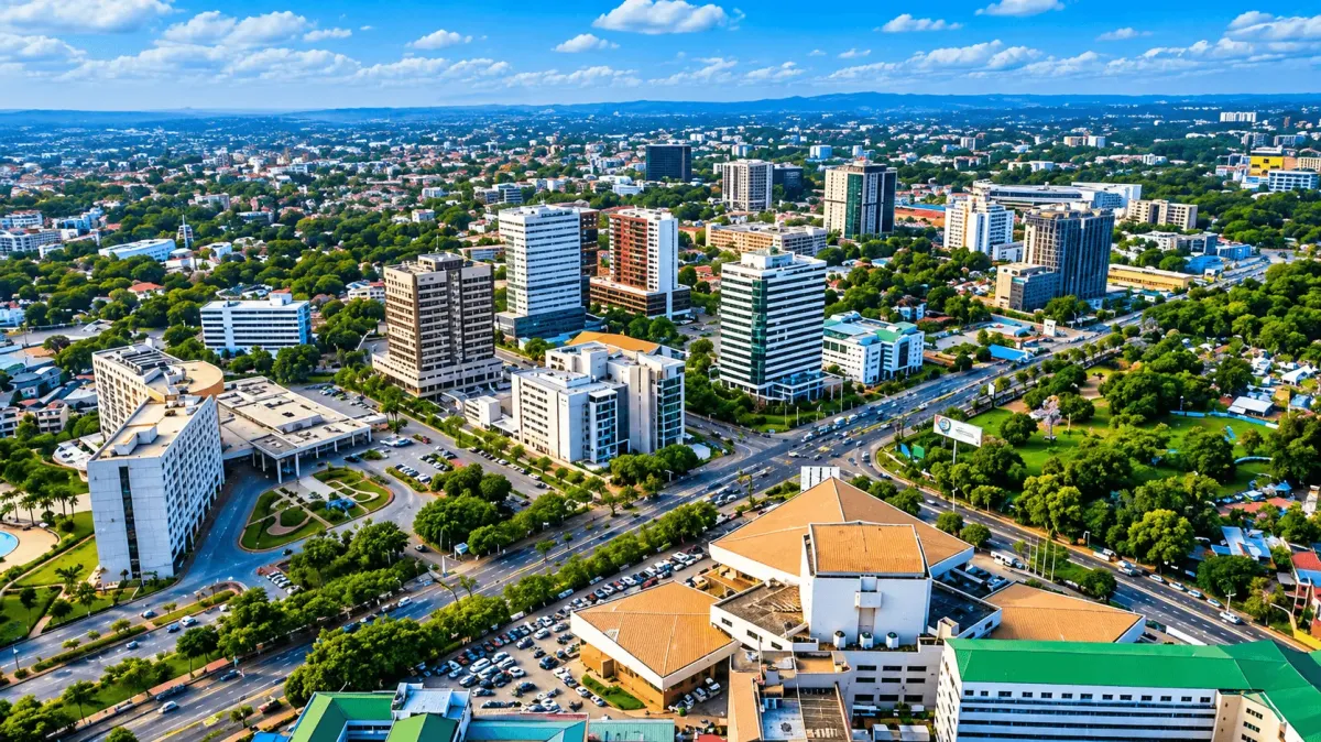
The Greater Accra Region functions as the administrative, economic, and cultural anchor of the Republic of Ghana. Situated on the southern coast along the Gulf of Guinea, the broader metropolis serves as a critical maritime gateway for West Africa. While your journey might begin in a single neighborhood, understanding the underlying historical shifts, climate realities, and decentralized district borders is essential for comprehending the layout of this expanding modern territory.
Spatial Dynamics of the Greater Accra Region
Accra sits within the coastal savannah zone of southeastern Ghana, characterized by low-lying plains that rise gently toward the Akwapim-Togo mountain ranges further north.
The urban geography is historically defined by its proximity to vital marine systems:
- The Marine Frontier: Bound directly by the Atlantic Ocean, creating shifting sandbars and lagoons.
- The Hydrographic Network: The spatial footprint is shaped around critical water bodies, including the Korle Lagoon in the west and the Densu River delta on the western peripheral boundary.
Over the past three decades, the built-up city-region has undergone massive horizontal sprawl, expanding more than fourfold from approximately 105.4 square kilometers to over 468.5 square kilometers. This horizontal growth has connected the historic coastal ports directly with inland commercial and residential commuter zones.
Historical Genesis and Evolution
The name “Accra” is derived from the Akan word nkran, meaning black ants, a reference to the large anthills that historical migrations observed across the Accra plains.
The Coastal Transition (15th–17th Century)
The area was originally settled by the Ga people in the 1500s, who governed the territory from an inland parent capital called Ayaso, located roughly 24 kilometers north of the modern coastline. Between 1650 and 1680, European colonial powers erected three fortified maritime trading posts along the immediate shoreline:
- Fort James (British)
- Fort Crèvecoeur / Ussher Fort (Dutch)
- Christiansborg Castle (Danish)
Following a destructive regional war that leveled Ayaso, the local population shifted entirely to the coast to capitalize on maritime trade routes. This migration formed three distinct coastal fishing settlements that became the foundational nuclei of modern Accra: James Town, Ussher Town (Dutch Accra), and Osu.
The Imperial Shift (1877–1957)
Following the departure of the Danish in 1850 and the Dutch in 1872, the British consolidated power across the coast. In 1877, the colonial administration officially transferred the capital of the Gold Coast from Cape Coast to Accra, locking in its status as the administrative hub of the territory.
On March 6, 1957, Accra became the focal point of global history as Ghana achieved independence, cementing the city’s role as the first capital of a liberated sub-Saharan nation.
Demographics and Administrative Structures
Navigating Accra effectively requires understanding that “Accra” can refer to three completely different political boundaries:
- Greater Accra Region: Covers 3,245 square kilometers and has a population of 5.46 million. It includes Tema, Ga West, Ga East, and 29 distinct districts.
- Accra Metropolitan Territory: Covers 199.4 square kilometers. The historical boundary is split into 13 distinct assemblies.
- The City of Accra: Covers 20.4 square kilometers and has a population of about 284,000. It is governed by the Accra Metropolitan Assembly (AMA).
The Modern Administrative Split
To improve local governance, the historical metropolitan territory was split into 13 independent municipal assemblies.
- The Urban Center: The official “City of Accra” is technically restricted to a dense 20.4 square kilometer core under the jurisdiction of the Accra Metropolitan Assembly (AMA), housing approximately 284,124 residents.
- The Regional Cluster: The larger Greater Accra Region spans 3,245 square kilometers with a collective population surpassing 5.46 million inhabitants, making it one of the most densely populated economic zones in West Africa.
Meteorological and Climate Realities
Accra features a tropical wet and dry climate under the Köppen classification system, characterized by high relative humidity levels and stable year-round temperatures.
Precipitation and Seasonal Cycles
The region experiences a micro-arid coastal anomaly, averaging a relatively low annual rainfall of 730 mm. This rain is distributed across two distinct wet seasons:
- Major Rainy Season: Spans from April to mid-July, dropping sudden, torrential downpours that put heavy structural pressure on the city’s drainage corridors.
- Minor Rainy Season: Occurs briefly during the month of October.
- The Dry Harmattan Season: Runs from November to March, bringing dry, dust-laden northeasterly trade winds from the Sahara desert that lower overall humidity levels.
The average monthly temperatures remain remarkably uniform, moving from a humid low of 25.9°C in August, the coolest month, to a dry peak of 29.6°C in March, the hottest month.
Economic Infrastructure and Core Industries
As the national economic engine, the regional assembly houses major telecommunications, banking, and administrative headquarters.
The primary economic productivity moves across three macro industries:
- The Service Sector: Dominates urban output, driven by financial services, real estate, and digital commerce.
- Manufacturing and Manufacturing Assemblies: Centered heavily in industrial zones like North Industrial Area and neighboring Tema, processing textiles, wood products, processed foods, and chemical compounds.
- Artisanal and Maritime Fishing: Traditional fishing wharves in James Town and Chorkor remain crucial for coastal food supply chains and local micro-economies.
Exploring the Greater Accra Travel Network
To plan actionable trips, source deep financial metrics, or explore nearby geographical regions, link directly to our specialized on-the-ground operational field guides:
- Logistics & Itineraries: If you are managing a short stopover in the capital, review our verified sequential transit route via the 48 Hours in Accra Weekend Blueprint.
- Financial Expat Relocation: For deep insights into the 6-month rental advance laws, utility prepaid meters, and neighborhood budget matrix tables, explore the Accra Cost of Living Guide.
- The Culinary Map: Discover the emerging lifestyle landscape and independent dining ventures by checking out our Lala Akosua and Café Chavela Business Feature.
- Coastal Destinations: For detailed breakdowns of transport terminals, surf costs, and lagoon ferry crossings along the western shores, consult our deep dives for Bojo Beach and Kokrobite Beach.
- The Akuapim Ridge Alternative: To explore the elevated mountain terrain directly north of the capital, read our guides covering the Aburi Botanical Gardens Entrance Details and the comprehensive Aburi Resorts Comparison Matrix.




Discussion 0 comments
You must be logged in to write a comment.
Log In Sign UpNo comments yet. Be the first to start the conversation!